|
LAFOURCHE PARISH GAME AND FISH COMMISSION
Levee District Mitigation Project
| ||||
The Lafourche Parish Game and Fish Commission (Commission) entered into an informal cooperative agreement with the North Lafourche Levee District concerning their
mandated Levee District mitigation program.
The Levee District is required to undergo mitigation for wetland alterations associated with ftheir hurricane protection levees and flood control activities in
central and north Lafourche Parish. For several reasons, the Levee District selected Lake Fields as a potential mitigation site:
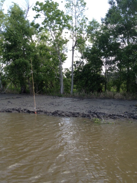
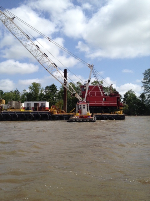
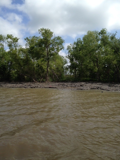
The lower Bayou Folse segment created approximately 18,100 feet of terraces for a total of approximately 12.7 acres of elevated marsh habitat. The terraces were created through four separate dredging sweeps and associated spoil disposal. After the final sweep, the channel was 9 feet deep, although some spoil slippage will occur and the final depth is anticipated to be one or two feet less. The following figures depict the dredge used in lower Bayou Folse and the created shoreline terraces.
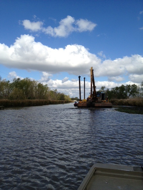
The Lake Fields terraces segment included an estimated 8,720 feet of terraces (2 feet high and 35ö in width) that were placed on the northeast Lake Fields shoreline. Approximately 6.8 acres of terraces were created. The following figures depict the dredge used in Lake Fields and the shoreline terraces.
The Levee District contracted the Barataria-Terrebonne National Estuary Program (BTNEP) to plant vegetation on the newly created terraces; BTNEP was selected because of their low cost due to their non-profit status and largely volunteer based plantings and their experience. After allowing for spoil compaction, giant cut grass (Zizaneopsis mileacea) was planted. After one year, dead plants will be replaced if overall survival is less than 80%. Joe Dantin, a Commission member who also works for BTNEP, coordinated the volunteer-based plantings. The Commission acknowledges and thanks the Levee District for not only selecting Lake Fields for their mitigation site but also for incorporating elements of the Commissionĺs restoration plan into their mitigation project. |